
I’m trying this approach right now, means iterating through a list of a few thousand stations and stop clusters from the VBB data, trying to look up the corresponding DB codes from coordinates.
All this at a leisurely pace to not raise any alarms with the API endpoint 
I have to agree with Thaodan, that it’d be good to have a repo. Would you mind if I pack the files into a repo on github? It would mean a bit of work syncing your releases, but would allow some structured work (ie. keep a ‘master’ branch which tracks your releases and have dev branches for those who have contributions)?
Just from looking at the history of fahrplan, you could get quite a lot of input, additional endpoints done with 3rd party help.
You can do as you like, it was just that up to this point as someone who was developing a niche product mainly for personal use there was not much need to give away the code to Microsoft and to create all that overhead with branches, failed migrations etc. that git is famous for.
Cool! Very kind of you.
That’s why most of my code on github is GPLv3.
I keep branching to a minimum so I can use a tool like meld at any time to have a meta view of all my changes between branches and flip back an forth. For me, it’s become indispensable. Thanks again!
I’ve now added the VBB stops to the database and pushed an update.
Let me know if this all makes sense or if you accidentally end up in Hamburg on your commute. 
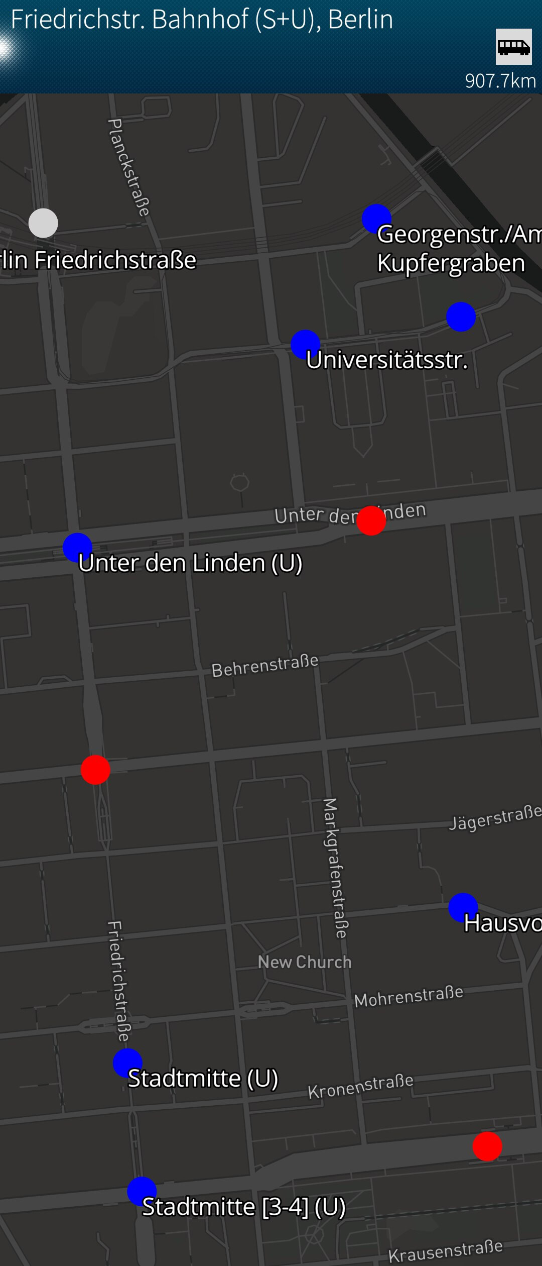
Sometimes a stop is marked as serving only bus lines but if clicked would still show nearby subway departures. This is an API limitation (responding with nearby services even if a specific stop ID is requested) which I may overcome at some point by filtering for certain modes.
Looks great! Superficial lookups in Brandenburg and in Münich are all correct. Yeah!
I think the background color for buses lacks contrast and doesn’t work well with the Bus lilac, but think the color choices are all reasonable. I also don’t like the walking guy in box. How about a circle? Like walking in a bubble? Just quibbles.
Great progress! Thanks!
Just a thought, but how about a map view pulley when your looking a the results table for a station? I know you can get there quickly enough. But I was thinking about not having gps on …?
This has been addressed in version 0.77
You mean a “Show on map” pulley on the station board page?
If you look into the code of previous versions this has been in there for a while but it crashed the app on multiple occasions so I decided to disable it.
I hope i have been able to fix the underlying issue now so I’ve enabled it again in version 0.77
I could not come up with any sensible alternative so I’ve just used the values from the SFOS standard ambiance but this time hard-coded into the Python module. I didn’t want to just use another shade of grey (we already use grey for mainline trains, trams, and as general fallback for everything else) but maybe it would have made it more consistent that way, I don’t know.
Feel free to tweak it to something that is less “flashy” and makes it better readable.
Exactly. Ok, fingers crossed.
yeah, clear enough. I’ll play around with the colour palettes when I have a chance.
I tested some commuting in Switzerland and Austria. Those also delivered functional travel itineraries. Yeah!
1 Like
I just did a lookup for a commute I have today which is outside the norm for me. No question that multimodal beats fahrplan where the usability of the display is concerned. Congrats!
Now when am I going to find the time to visit Trafalgar square!?
1 Like
When there is no GPS position available MultiModal defaults to “Charing Cross” which is traditionally the actual point for measuring the distance to and from London.
This may be the reason why you may feel nudged by MultiModal every now and then to visit this particular place
Can now be enabled/disabled in settings.
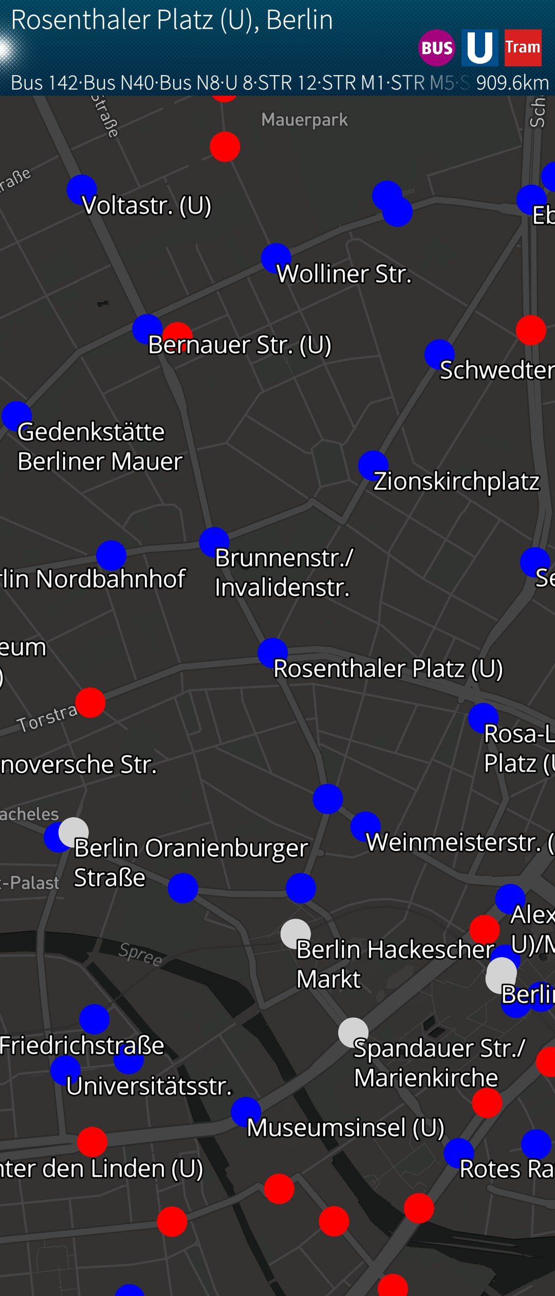
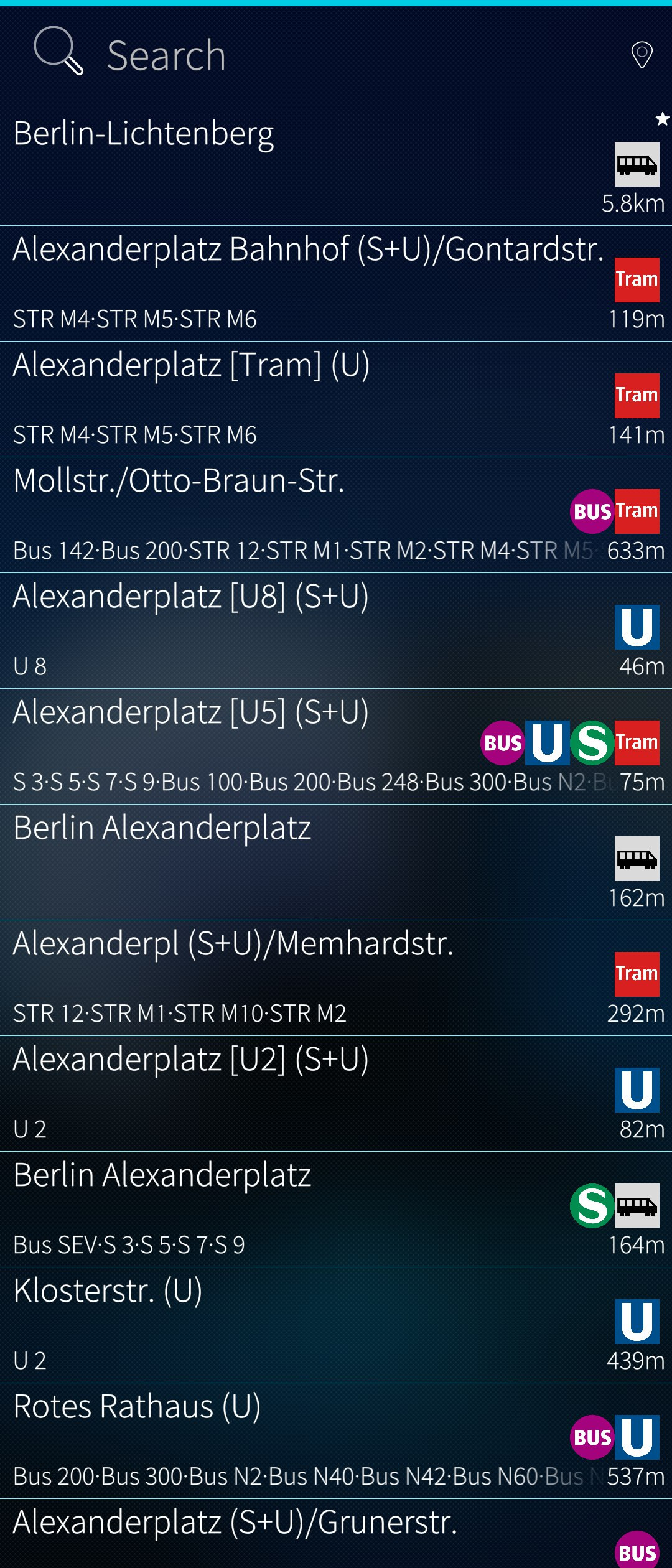
One of the features of the app is constantly showing you all stops around you when GPS is active.
Not only on the map but also below your favourites plus on the cover page.
I found it makes it worth the extra battery drain having GPS always on may cause.
This may also help explain the design decision to make MultiModal so heavily dependent on a local stops database as this would be nearly impossible with an API-only approach.

Fun fact: GPS is not the only positioning source used. MultiModal will scan wifi networks and look them up in a local database (e.g. for the occasions when there is no GPS coverage, like on the sub-surface sections of the London underground). That’s what the wifi_networks table is for
4 Likes
I’m way too conservative with GPS. That comes from a lifetime ago experience with battery drain (N900 days). But I also turn things on an off as a matter of habit.
Wednesday I had a gig in the city and just did checking between Fahrplan and Multimodal and it was clear that, even without GPS, the leading in routing was easier to follow.
In July, we’re off to France, and I saw that much of the journey is covered in detail with the dbahn apis. Then, I can kick the can with GPS!
Thanks for all the great work!
1 Like
Thank you. I’m glad it turned out to be useful for all three (maybe four) users of this app 
1 Like
Oh, there will be users! My guess is, unless I really move my butt, you’ll grab a bunch of German, Dutch, Austrian and Swiss users before you know it 
Seriously, as soon as I get my stopmotion animation app and the videoworks fixes done, I’ll start putting in some time. I think that a number of other programmers are interested. I havesomewhat too much knowledge of these apis to let it go to waste.
One thing I noticed today with the new version 80, GPS doesn’t appear to get a fix? I switched to my weather app on seeing multi wasn’t getting a fix and, got a fix. Switched back and no dice? In my app, I have a button to update gps fix manually and monitor it directly. So I could see that I had lat/lon.
1 Like
You should package for harbour and get it in the store. That get’s the most downloads. I’m really a stickler for covering all the bases (chum for ease of use, openrepos cause most know it) but the jolla store is first go-to for users.
Hmm, I haven’t changed anything in the code around location services for quite a while so this may be either some weird side effect of a totally unrelated change or just coincidence.
If you start the app from the command line you should be able see a lot of debug output that may be helpful in this case:
sailjail -p harbour-multimodal.desktop /usr/bin/sailfish-qml harbour-multimodal
I think I’ll pass on that one. I’m already having a hard time to justify to myself all the time and effort I’m putting into this project and I’m afraid I would maybe lose interest if I had to jump through all the hoops required to publish to the store. 